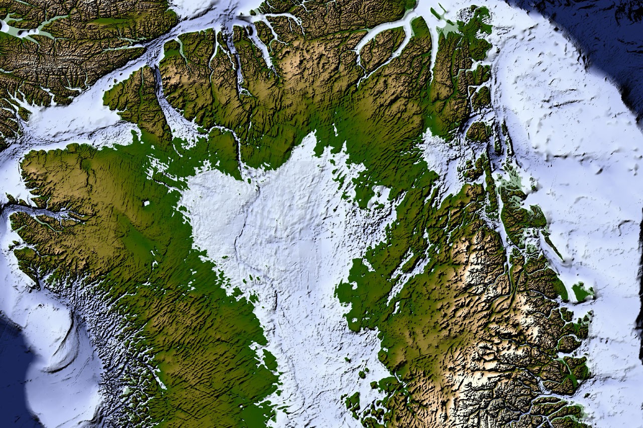
Scientists have created a detailed map revealing extensive valley networks hidden beneath the Greenland Ice Sheet, significantly altering prior understandings of the region's geology. The newly produced map connects approximately 800 previously unidentified valleys, representing a substantial expansion of known subsurface features. This breakthrough utilizes data collected by Operation IceBridge, specifically radar signals penetrating through nearly three kilometers (1.9 miles) of ice. Researchers employed advanced processing techniques to interpret these complex radar datasets and reconstruct the underlying topography with unprecedented accuracy. These discoveries highlight the dynamic nature of the Greenland Ice Sheet and its intricate connection to Earth’s geological history.
Continue reading at www.nasa.gov
This PlaneNews briefing summarizes reporting originally published by www.nasa.gov.
Read the original article →