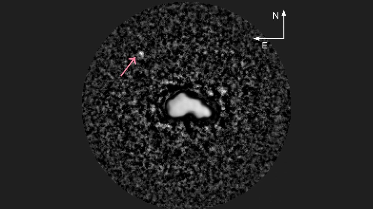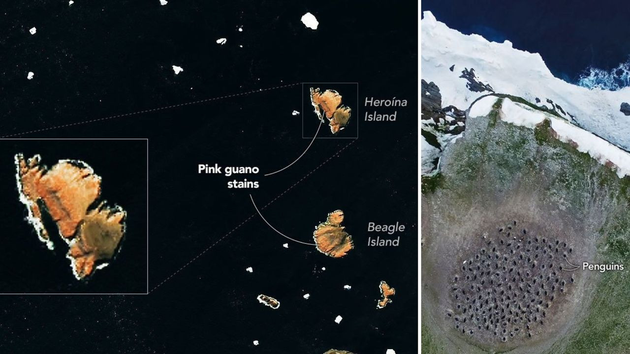
Scientists employed data from NASA satellites and supplemented it with on-the-ground investigations to monitor shifts in the dietary habits of penguins inhabiting the Danger Islands region of Antarctica. The research focused specifically on tracking these birds’ feeding patterns across the islands. Researchers utilized high-resolution satellite imagery to identify areas where penguins were concentrating their activities. Ground teams conducted observational studies alongside the satellite data collection efforts. This combined approach provided a comprehensive understanding of penguin behavior and its impact on the Antarctic ecosystem.
Continue reading at www.space.com
This PlaneNews briefing summarizes reporting originally published by www.space.com.
Read the original article →