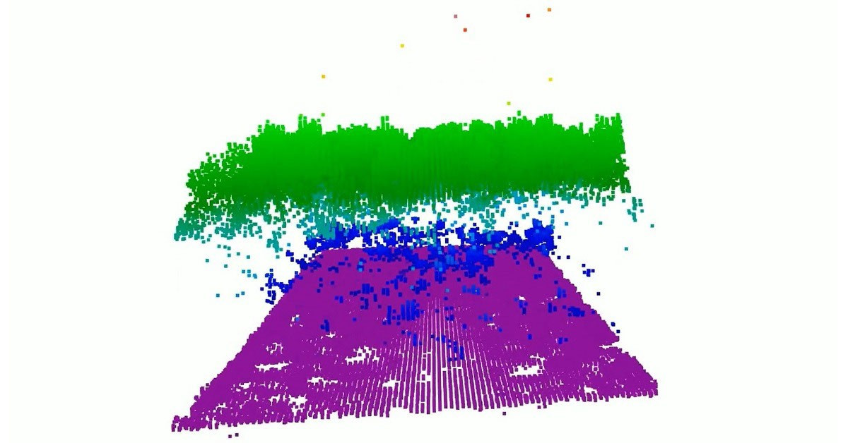
NASA's CASALS instrument is designed to address significant data gaps in current 3D mapping efforts of the Earth’s surface. Existing space-based laser instruments capture measurements along single, narrow lines, leaving vast areas – estimated at millions of acres – unmapped. The innovative approach utilizes machine learning alongside a compact lidar sensor for adaptive scanning across larger regions. CASALS will dynamically adjust its sweeping pattern to maximize coverage and reduce these previously unavoidable gaps. Scientists anticipate this technology will significantly improve our understanding of global terrain and forest distribution by providing more complete datasets.
Continue reading at www.nasa.gov
This PlaneNews briefing summarizes reporting originally published by www.nasa.gov.
Read the original article →