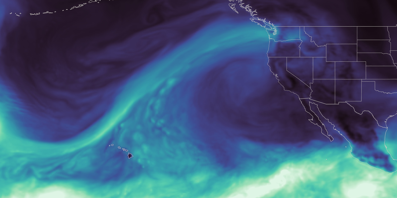
NASA’s Earth science data is currently being utilized to bolster machine learning models specifically designed for river forecasting within Washington State. These sophisticated algorithms are providing crucial insights into predicting flood risks and managing water resources effectively. The data's impact extends across several sectors including water management, energy production, and ensuring public safety measures. Scientists have observed the lingering effects of a prolonged snow drought on Washington’s waterways due to reduced snowfall this season. This reliance on NASA’s observations demonstrates how satellite-derived information can directly influence critical operational decisions impacting communities throughout the region.
Continue reading at www.nasa.gov
This PlaneNews briefing summarizes reporting originally published by www.nasa.gov.
Read the original article →