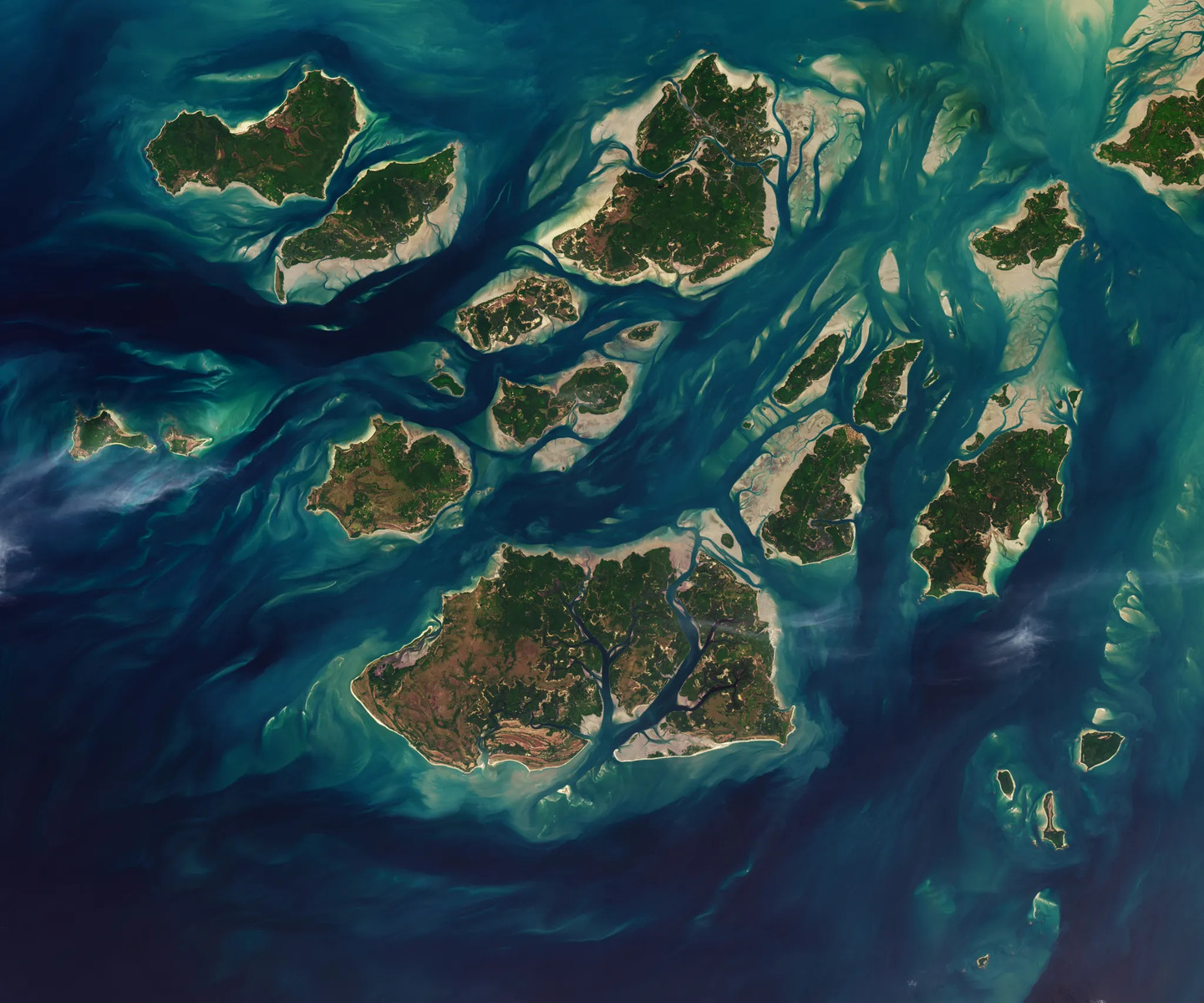
The tidal patterns within the Bijagós Archipelago of Guinea-Bissau are remarkably consistent, occurring twice daily across its complex network of waterways. This intricate system encompasses approximately 88 islands and islets, characterized by sandy channels, extensive mudflat areas, and significant mangrove forests. Satellite imagery captured on November 28th, 2025, visually documents these dynamic shifts in the archipelago’s geography. The ebb and flow of tides dramatically alters the exposed landscapes during periods of low tide, revealing vast intertidal zones. These changes highlight the critical role that tidal action plays in shaping this unique coastal environment.
Continue reading at www.nasa.gov
This PlaneNews briefing summarizes reporting originally published by www.nasa.gov.
Read the original article →